Coordinate system
Coordinate system
Drawing|Misc|Coordinate system
Survey|Coordinate system
Terrain|Coordinate system
Point cloud|Coordinate system
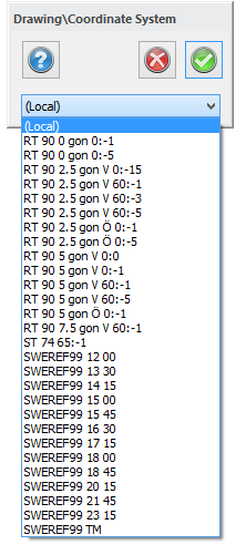 The document can use a specific coordinate system. When importing data to a drawing, a warning will appear if the drawing you are trying to import to uses a different coordinate system.
This will not change the coordinates themselves but is used for transformation of WMS maps and is part of net adjustment calculations.
See also
System settings - Coordinate system.