Coordinate System
Home|System settings
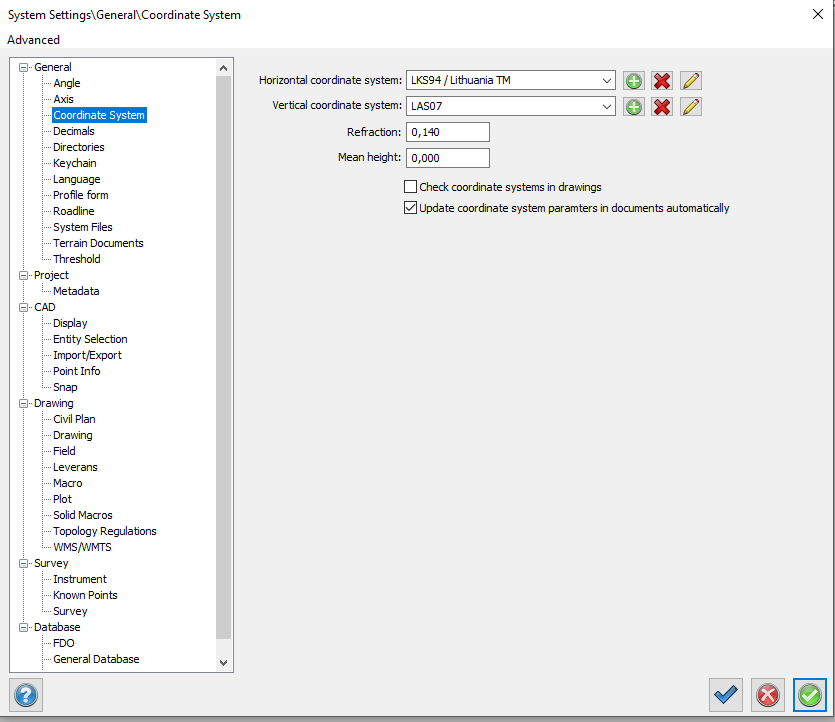
Settings for the coordinate system to be used in this project. Refraction and mean height.
You can use the mean height if you want to compensate for heights but do not know the actual height. Entering a height here will cause Topocad to compensate for this height in length calculations.
From the Pencil you can input the parameters of your coordinate system.
Coordinate systems can be added. Enter a name, origin for X and Y (North and East), ellipsoid type and average meridian. Tip: You add your grid file for calculation of heights in the horizontal coordinate system settings.
See also