ArcGIS database adapter contents
ArcGIS database adapter
|
Command |
Description |
|
Opens the database for the drawing. |
|
|
Disconnects the database |
|
|
Adds data from the database to the drawing. |
|
|
Saves the data |
|
|
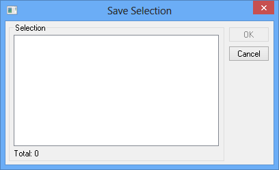
Saves a selection of new or modified objects. |
|
|
Refresh data, load from database |
|
|
Reconciles and Posts data to the current version of the database. |
|
|
Manages different versions of the database. |
|
|
The command allows version change of selected layers |
|
|
Edit attributes handles domains and subtypes. |
|
|
Command to group single objects into one. |
|
|
Settings - including drawing method etc... |
|
|
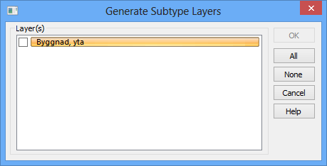
Move subtypes in a layer to a subtype layer |
|
|
View Geographical Constraint |
Open map
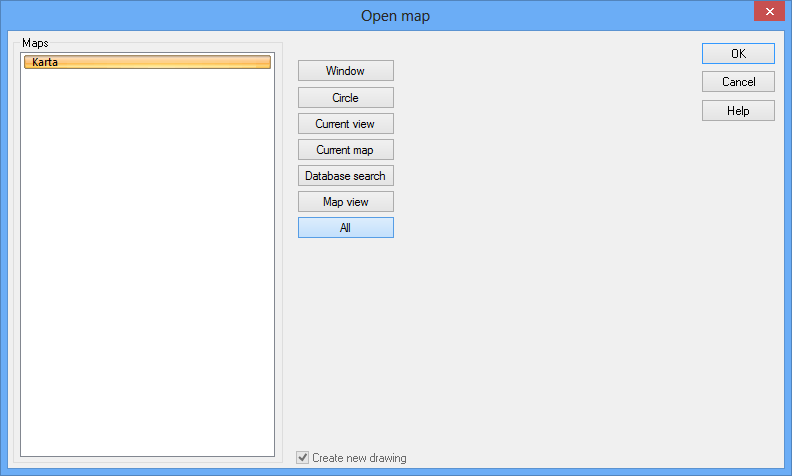
This function opens the map of the selected database.
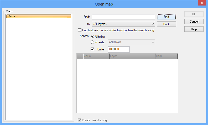
Open map by database search
Searches can be made from one or more objects in the database and with a buffered zone around these objects. You can also select if you want to open the entire map, the current view (equal to the window that is now open) or by using the window which can either be selected in the drawing or specified by coordinates. When the map opens, the items you searched for will be highlighted.
Find: Search for a value's attribute, for example address or road name.
In: Where to make the search.
Select whether to find features that are similar to or contain the search string
All fields/ In fields: Select if you want to search through All fields or a special field.
Buffer: Default is 100 meters, which opens the map with a radius of 100 meters around the selected attribute.
Disconnect
Disconnects the database The Arc license used is not free until you close Topocad.
Add data
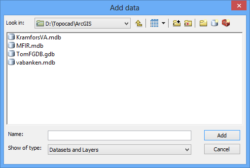
Adds data from different layers. An area is selected.
Save data
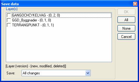
Saves the data. Select from the alternatives All changes, New features only, Modified features only, New and modified features only or Deleted features only.
The command allows the user to save a selection of new or modified objects. Deleted object are not able to save.
The dialogue shows concerned layers, how many marked object in each layer and also the total amount of objects that will be saved.
Refresh data
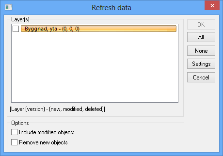
Update data and load new data from the database. You can ignore changes made in Topocad.
Reconcile and Post
Reconciles and Posts data to the database.
Any layers with differences from the database are displayed in a list. All layers with changes are displayed with three numbers in brackets, e.g. (1, 2, 3), where the first number indicates how many new objects are in this layer, the second number indicates how many changed objects and the third number indicates how many deleted objects - these must be deleted from both the drawing and the database.
Reconcile against version. Select layer to reconcile with.
Version manager
A list of different versions of the database. New versions can be created by right clicking.
The command allows version change of selected layers. All changes of existing objects will be deleted. New object will not be affected.
Edit Attributes
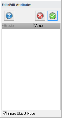
Edit attributes handles domains and subtypes.
Group object
Right click on objects and select group object. The object will now appear as one single object.
Generate Subtype layers
The function moves subtypes in a layer to a subtype layer. The new subtype layer will be named <layer> - <subtype>
View geographical constraint
Select Constraint to activate the command.