Survey
Home|System settings
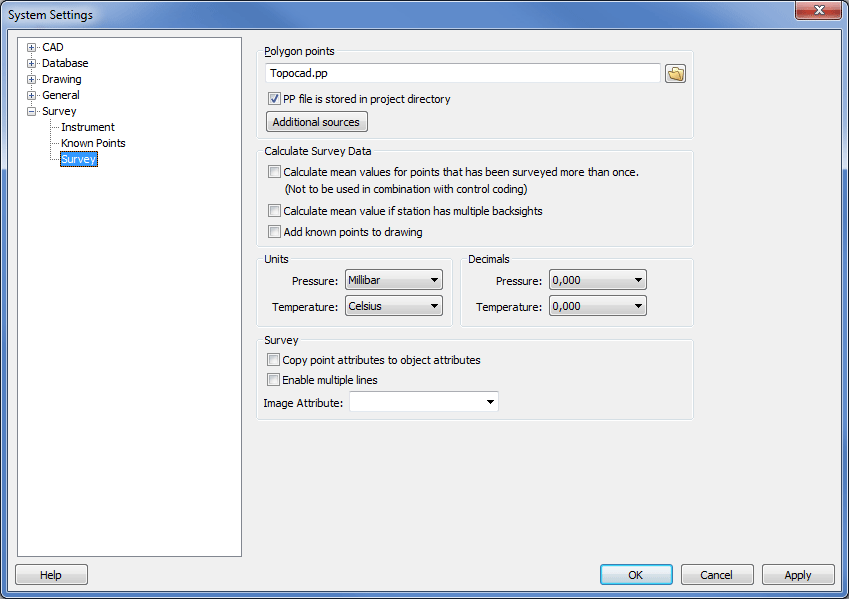
You can select the name and location for the polygon point file in Survey preferences.

For example, you can use a common polygon point file (.PP) and store it in the Topocad library. However, it is more common to have unique polygon point files for each project. It is important that the existing polygon point file actually has the name that is selected here. If not, the system will be unable to find it and will not be able to calculate a survey data file.
Tip! Make sure that the selected polygon point file name is the one you have used in your survey and that the correct project is selected when you calculate the survey data.
Polygon points
Enter the name of the file in which polygon points (known points) are stored. The default name is Topocad.PP.
The PP file should be saved in the project directory:
If it is, select this box. In this case you can give the pp file the same name in every project.
Calculate survey data
Calculate mean values for points measured more than once.
Select this option if required.
Calculate the mean value if there are several backsights on the station
if the station has several backsights a mean value can be calculated.
Refer to Select project for more information about the selected project.