Soil
Calculated sections|Global options - Soil
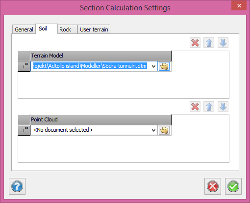
In calculated sections it is possible to set several terrain models for soil and rock. When a section is calculated, the center point of the section is used to decide which terrain model that should be used for this certain section. The first terrain model that covers the center point will be used for the section. If none of the terrain models covers the center point, the first one in the list will be used.