Map
Home|System settings
These are the settings for the map sheet add-on module.
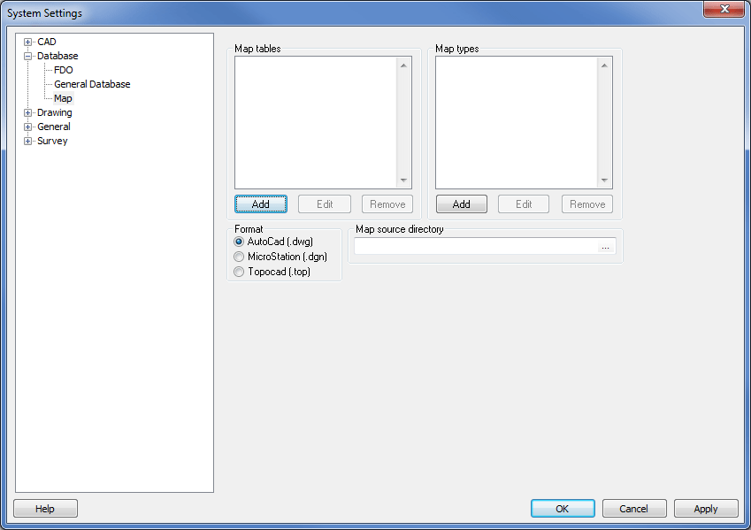
Map tables
Information about the map tables used is entered in a separate file. The file contains information about which coordinates the map charts start from (lower left corner) and the size in North and East directions. See more information below.
Map types
The map can be divided into several different types of information and these will be displayed as tables when the map sheet is imported. Different types can be separated with a prefix or suffix (extension). For example: if the map type is CADASTRE, all map sheets containing Cadastre information will be given the prefix CADAST_, e.g. CADAST_BF45 where CADAST stands for Cadastre information and BF45 relates to a specific map sheet.
Format
Map sheets can be in AutoCAD DWG format or Microstation DGN format. Topocad TOPX format will follow.
Map directory
Select the directory in which you have stored the map sheets. Subfolders can be entered in the map table file.
An example of a map table
The format, saved as a csv (comma separated format) file that can be created in MS Excel, is as follows:
Map sheet name,Sub folder,X,Y,height,width
Example:
AC035;AC;55600;97600;400;600
AC036;AC;55600;98000;400;600
AD036;AD;56000;98000;400;600
A subfolder can be empty but requires an extra , (comma).