Details, terrain profile
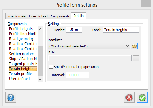
The component Terrain heights adds the height of the selected terrain model along the road line with even intervals.
The terrain section is created by using a roadline and a digital terrain model. The heights at which the roadline crosses the triangles in the digital terrain model will be used for the terrain section. The data required is a calculated roadline and a digital terrain model.
Roadline
Load the roadline to be used for the terrain section. The roadline has the extension .trl (Topocad roadline). The roadline must cross the digital terrain model to be used at some point.
Digital Terrain Model, DTM
Load the digital terrain model to be used for the terrain section.
Colour
Enter the colour for the terrain section.
Line type
Enter the line type for the terrain section.