Catchment Area
Drawing | Terrain | Tools | Catchment Area
Function that analyses a terrain and divides it into catchment areas. Firstly choose the terrain model to be analysed.
Point
Radius
Input the radius of chosen point, to be the area to analyse water paths to.
Pick
Pick a point to be the centre of the circle area which water paths will be analysed to.
Select
Select a point in the drawing
No point, create all areas
Analyse catchment areas for the whole terrain model.
3D Intersection
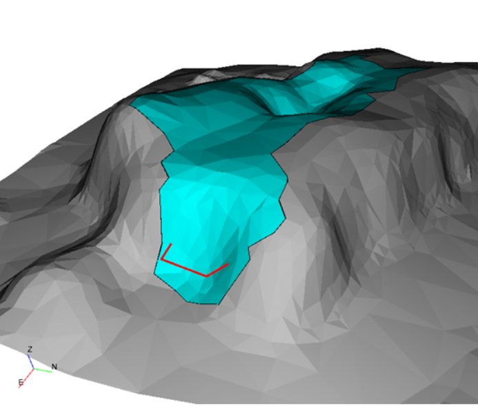
without 3D intersections
If 3D intersection is not active the triangles over and under the chosen point will be analyzed.
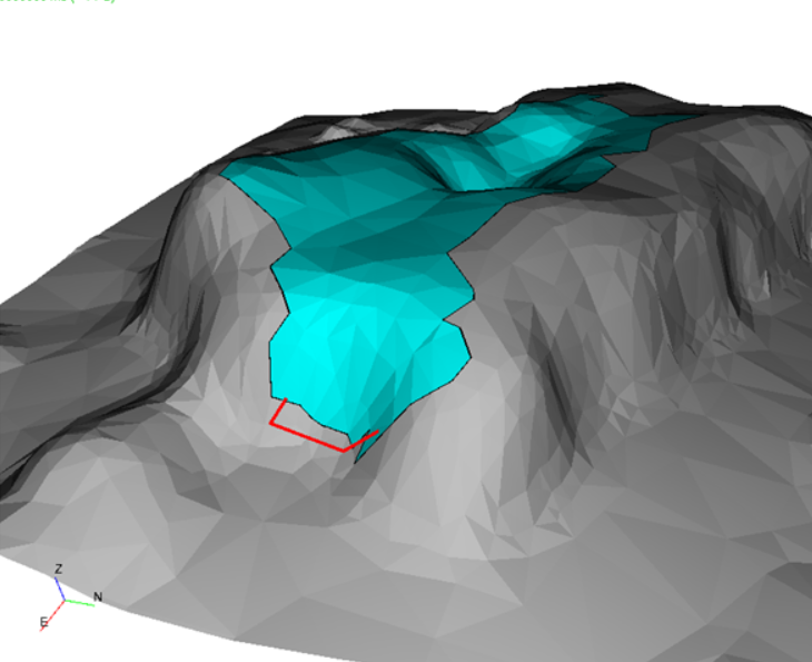
with 3D intersections
If 3D intersections is active only triangles above the chosen point will be analyzed.
This suits for analyzing if water flows to a point on a mountainside for example.
Colour
Pick colour for catchment area to chosen point.
Output
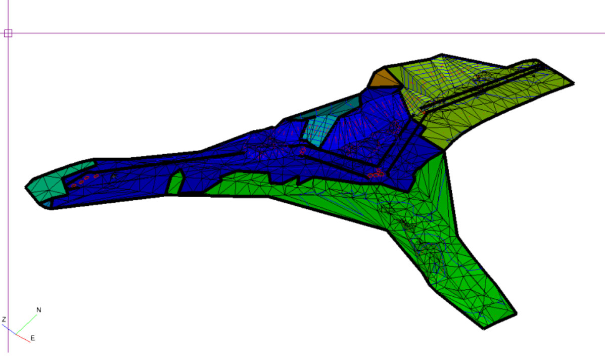
Terrain model
Output terrainmodels of different colours for each catchment area.
Print sloping area
Get area in text for each catchment area.
Border contours
Creates lines around each catchment area, this can be used for many other purposes.
Add paths
Lines in blue are drawn to represent simulated flow of water.
Keywords: water, DTM, GIS, analyse